
The Landscape Detectives constantly change and evolve, so it’s not so easy to keep the list of people updated, but here are some of the current members presented:
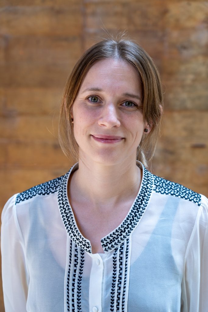
Dr. Lina Eklund, who initiated the Landscape Detectives, is an associate senior lecturer at the dept. of Physical Geography and Ecosystem Science (INES) at Lund University, Sweden. Her area of interest is in the Middle East, primarily Israel/Palestine, Iraq and Syria, where she explores the issue of climate security, including climate induced migration and armed conflict, using earth observations, spatial analysis and sometimes qualitative methods. She also studies the environmental impacts of armed conflict, and is particularly interested in land use/land cover change and fire dynamics. She is the main supervisor for our PhD students Annie Lin, and Lovisa Rosenquist Ohlsson, and some of our bachelor and masters students. She is associated with INES, the Centre for Advanced Middle Eastern Studies (CMES), and Biodiversity and Ecosystem Services in a Changing Climate (BECC).
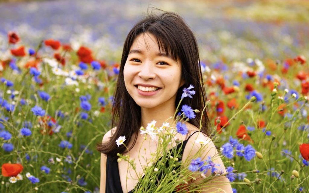
Annie Lin is one of our PhD students, currently on her 2nd year, associated with INES and CMES. Her research interests encompass remote sensing and pyrogeography, particularly concerning vegetation fire, land cover and land use change, and its relationship with conflicts, with a specific focus on the Middle Eastern regions. In other words, she’s fire at making maps. She also has experience with spatial analysis and social media. You can read more on her website.
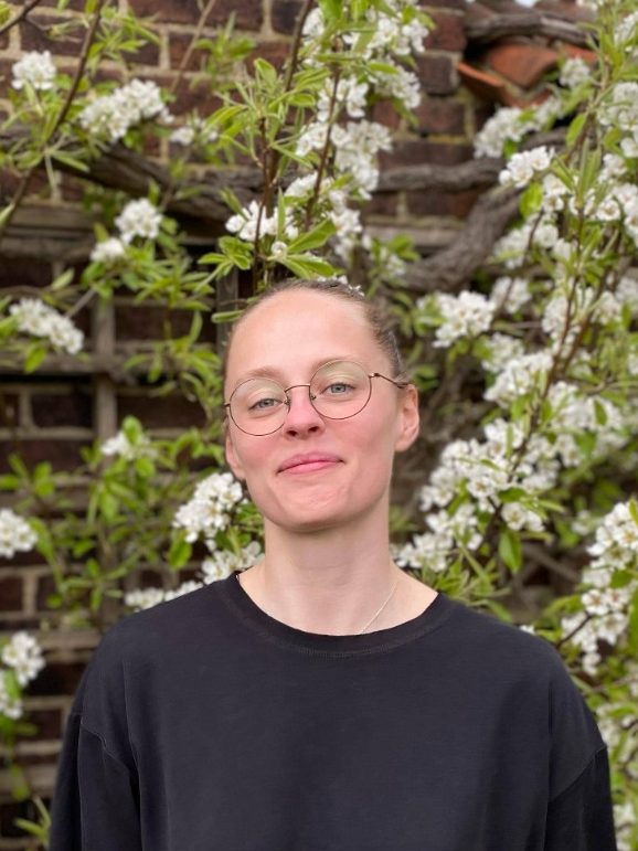
Lovisa Rosenquist Ohlsson is our second PhD student, and just started her 2nd year. She is associated with INES and CMES. Her research focuses on climate risks and adaptation measures in the populated Middle East, specifically areas with displaced populations (refugees and IDPs). She works mainly with spatial analysis, nature-based adaptations, and climate-related risks. Her background is mainly in physical geography, and has experience with fieldwork in remote, urban, boreal, arctic and open environments.
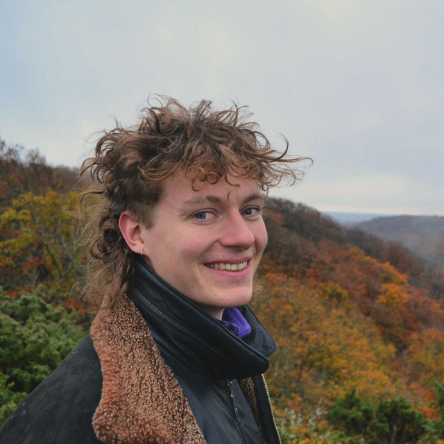
Rupert von der Kammer is a second-year Master’s student in Geomatics at INES. With a background in Environmental Science and a M.Sc. in Disaster Risk Management. He is working with geospatial analysis of land use and agricultural development and is an OpenStreetMap-nerd and active HOTosm-contributor. His personal interest lies on field survey and participatory mapping approaches, but he also spends a lot of time at Alnarps Agroecology Farm.
Agnes Berner is a second-year master’s student in the GIS and Remote Sensing programme at INES. She is currently exploring how remote sensing can be used to map makeshift oil refineries and oil lakes in northern Syria. Before coming to Lund, Agnes studied politics and geography at the University of Glasgow where she developed an interest in the research approaches of political ecology and critical geography. She is currently also diving into questions of ethics in remote sensing and mapping in general.
Dr. Purnendu Sardar is a Postdoctoral Research Fellow at INES and CMES. His research focuses on studying vegetation and land-use changes in the Middle East using remote sensing techniques. He holds a PhD from the Indian Institute of Technology (IIT) Dhanbad, where he conducted research on the impact of climate change on the mangrove ecosystems of Sundarbans. Following his PhD, Dr. Sardar worked in the climate-action industry, leading a team of geospatial experts to execute large-scale agroforestry projects in India. Additionally, he has served as a geospatial consultant for international companies. He is also interested in understanding conflicts, land-use changes and ecological processes at landscape level using geospatial tools.